All roads lead to covid.
There have been some disturbing and depressing yet unsurprising findings lately about who in Australia caught and died from covid the most.
There was this Australian Bureau of Statistics report which found a jaw-dropping 15 times the mortality among people born in the Middle East compared to people born here or in the UK and Ireland, as well as three times the mortality in the most disadvantaged compared to the most advantaged areas.
And just this week the MJA ran a study of the Victorian regions that had the highest covid incidence. They were the ones with the worst household (i.e. rent/mortgage) stress, the most unemployment and the highest proportions of people speaking a language other than English.
But here’s one that seems a little more out of the box.
The Sydney suburbs with the highest covid rates were not the most densely populated or the most urbanised, but the ones with the most road connections to other suburbs.
Researchers from Sydney University looked at the impact of road networks on a suburb’s covid vulnerability (how early it got its first case) and severity (number of cases) between June and September last year. They looked at 19 Sydney local government areas and measured their centrality in four ways: degree, closeness, betweenness and eigenvector.
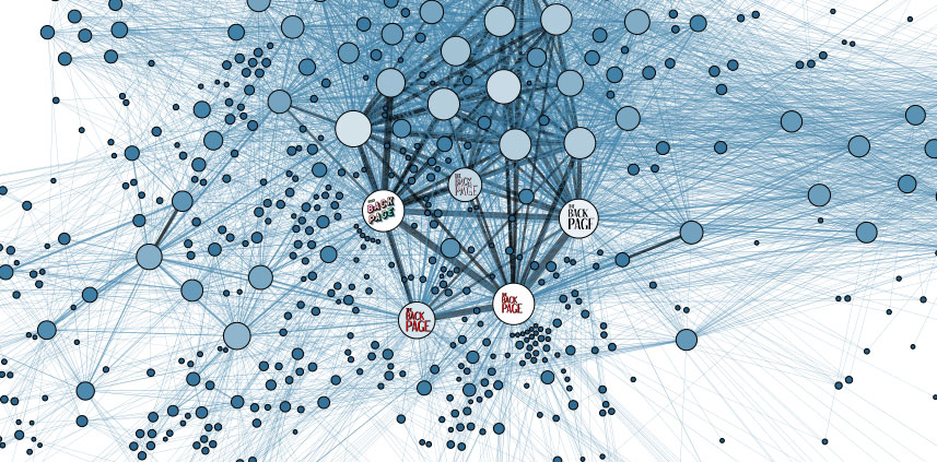
Full disclosure: your Back Page is nerdy enough to have started a MOOC on network theory a few years ago, but not nerdy enough to have finished it. Or made it past week 3 if we’re honest. We remember nodes and edges, and … that’s about it.
Suffice it, then, to say that degree centrality – the number of edges a node has, or the number of roads out of a suburb to other suburbs – was a strong and statistically significant predictor of covid vulnerability and severity. (Closeness centrality and eigenvector centrality also predicted vulnerability and severity, respectively.)
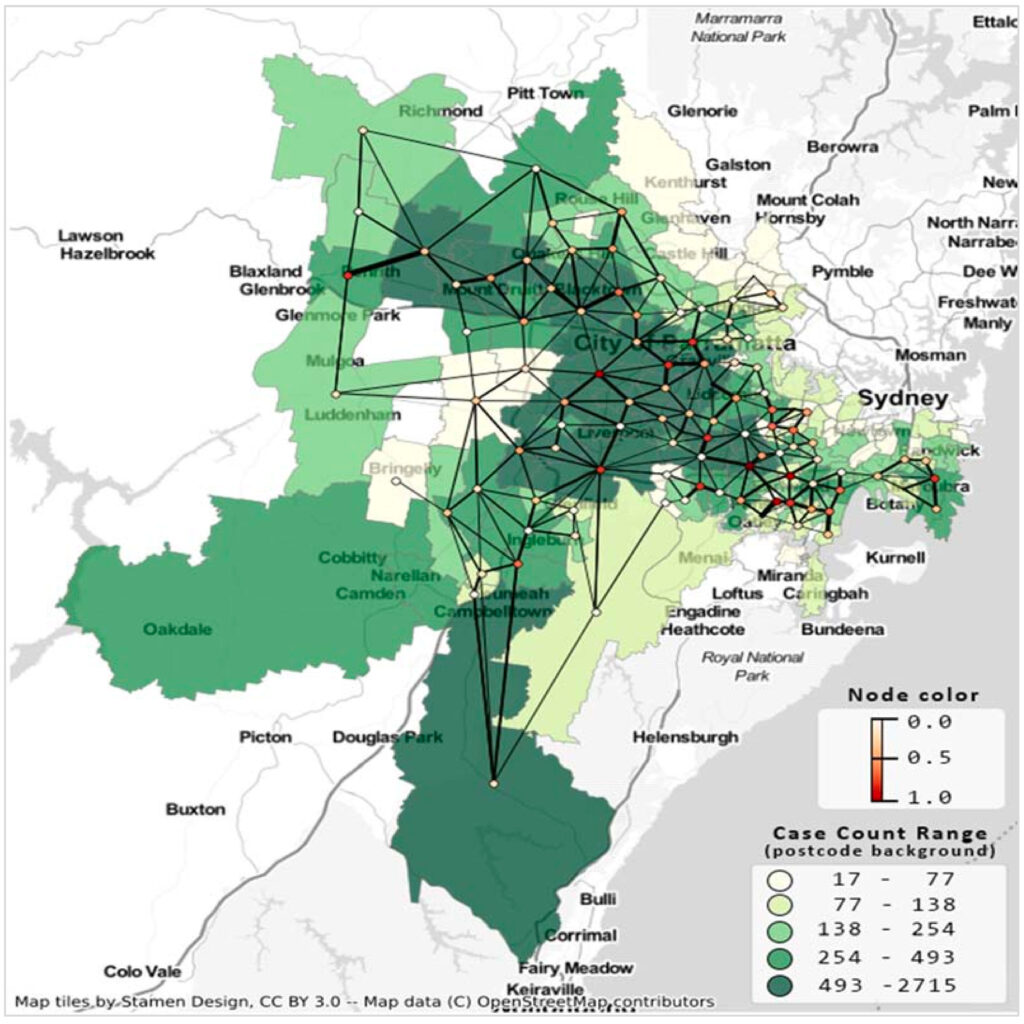
In the above figure from Uddin et al., the darker green areas are those with more covid, and thicker edges represent a greater number of shared roads between regions.
Lead author Dr Shahadat Uddin, an expert in complex networks and health analytics, told the uni press: “What our study has found is that suburbs with busy, interlinking roads were far more vulnerable to covid-19 … What we have sought to understand is what types of human mobility led to a higher spread in Sydney and where the weakness in our system lies. What this study has put into contention is the efficacy of strict LGA lockdowns on areas that are highly connected by road.”
As a Sydneysider, the Back Page remembers with discomfort the uneven attention paid and different rules applied to more and less affluent areas during the 2021 lockdown. At that time covid’s stubbornly high prevalence in the southwestern suburbs was chalked up to predominantly blue-collar work that could not be done from home, and people from culturally and linguistically diverse communities insisting on large family gatherings.
The authors of this study suggest that the 10km and then 5km radius restrictions imposed by the NSW government “might not be fully effective to stop the highly contagious virus from spreading to neighbouring suburbs. The reason is that many of those LGAs under lockdown have neighbouring suburbs or postal areas within a 10km or 5km radius. These restrictions, therefore, would not stop people from moving in and out across infected suburbs, thus bringing the virus to newer suburbs.”
Which suggests there was a lot of pain for little gain.
If you see something that tickles your nodes, send it to felicity@medicalrepublic.com.au
